We carry out geophysical surveys with modern equipment to support subsurface investigation before design and construction. They cover large areas quickly and show how the ground changes between boreholes, but they do not replace boreholes: we choose the method to suit the purpose of the survey, the depth of interest and the ground conditions, and interpret the results together with borehole data.
Ground-penetrating radar (GPR)
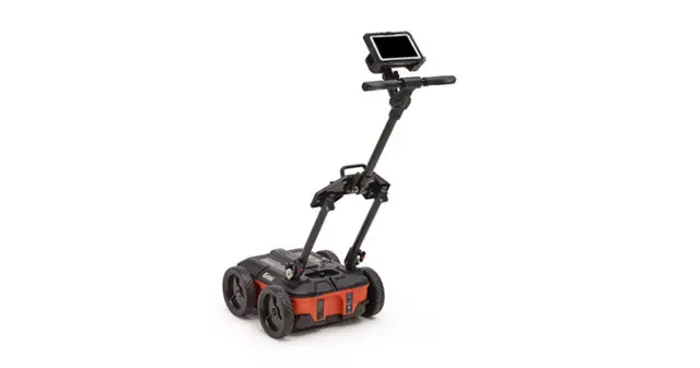
GPR sends electromagnetic pulses into the ground and records their reflections from layers and buried objects. It suits shallow depths, and its penetration drops in clayey or saline soils.
- Thickness of near-surface layers
- Indications of shallow voids
- Locating buried utilities and objects, metallic and non-metallic
Multichannel analysis of surface waves (MASW)
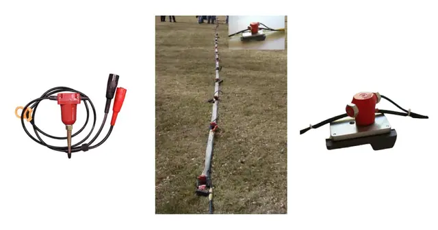
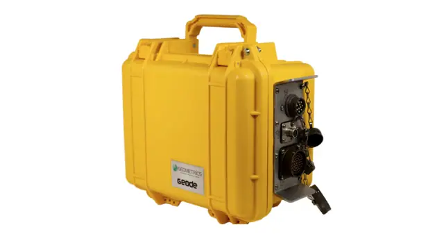
Seismic waves generated at the surface are recorded by a line of geophones and processed into a profile of shear-wave velocity (Vs) with depth.
- Layer stiffness and how it changes with depth
- Weak zones and indications of cavities
- Supporting seismic site classification (Vs30) where the survey meets the study requirements
Electrical resistivity tomography (ERT)
ERT passes an electric current into the ground through electrodes laid out in a line and produces a section of resistivity below the surface.
- Resistivity contrasts that may point to voids or groundwater
- Changes in layer type and extent between boreholes
Soil resistivity testing
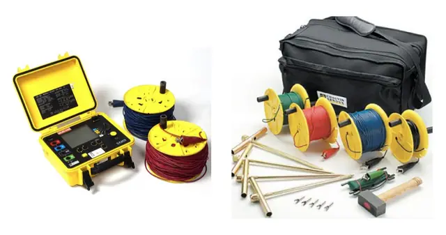
We measure the electrical resistivity of the soil on site with electrodes driven into the ground.
- Design of electrical earthing systems
- Assessing how corrosive the soil may be to buried metal structures and pipes
Buried utility locating (RD)
We trace the routes and approximate depths of buried cables and pipes before excavation with a Radiodetection RD8200 locator.
- Tracing conductive cables and metal pipes
- Tracing non-metallic pipes with a sonde inserted in them
- GPR to complement the survey for non-conductive utilities
Interpretation and verification
A geophysical survey flags indications such as voids and weak zones but does not confirm them on its own. We interpret the results together with borehole data and recommend verifying suspect locations by drilling or borehole camera imaging before they are used in design.
- Method chosen for the purpose, depth and ground conditions
- Combining methods where needed
- Integrated interpretation with borehole data
- Verifying suspect locations before design