
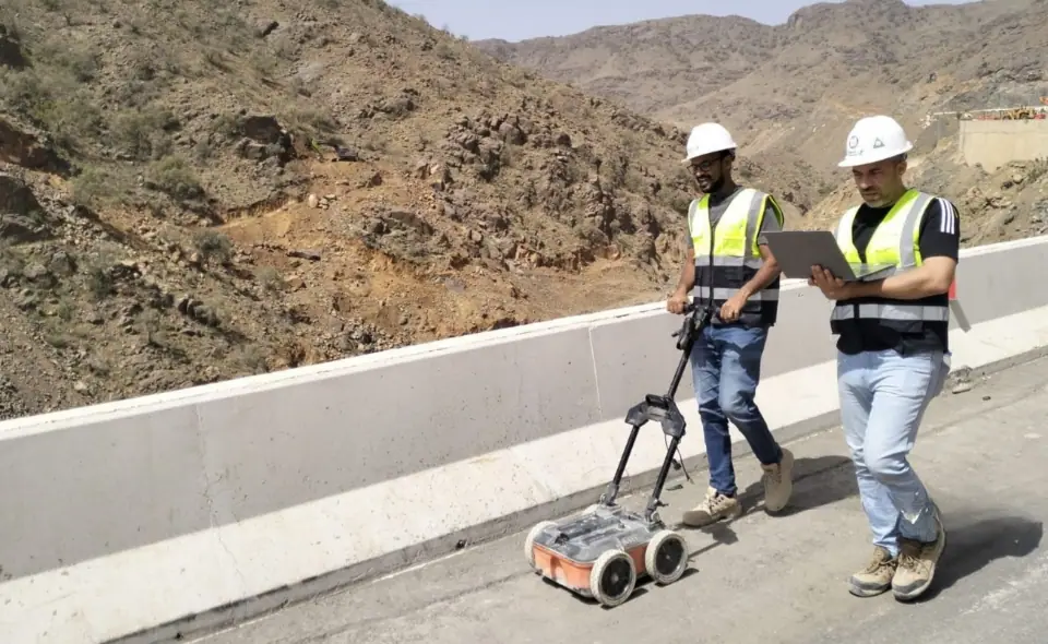
Boreholes give accurate information, but only at specific points. A geophysical survey covers large areas quickly and reveals what lies between the boreholes: changes in the layers, voids or obstructions. That is why the two are used together to build a clearer picture of the site.
Ground-penetrating radar (GPR)
GPR sends electromagnetic pulses into the ground and records their reflections from layers and buried objects. It suits shallow depths, such as finding shallow voids, buried utilities and layer thicknesses. Its penetration drops in clayey or saline soils.
Multichannel analysis of surface waves (MASW)
MASW uses seismic waves generated at the surface to work out the shear-wave velocity of the different layers. The results help estimate layer stiffness, flag weak or hollow zones, and support seismic site classification where the survey meets the study requirements.
Electrical resistivity tomography (ERT)
ERT passes an electric current into the ground through electrodes laid out in a line, and produces a section showing how resistivity varies below the surface. Contrasts in resistivity can point to voids, groundwater or a change in the type of layer.
Soil resistivity testing
Used to design electrical earthing systems and to assess how corrosive the soil may be to buried metal structures and pipes.
Which method suits my project?
The choice depends on the purpose of the survey, the depth of interest and the ground conditions, and more than one method is often combined. In every case the results are interpreted together with borehole data, and suspect locations are verified by drilling.